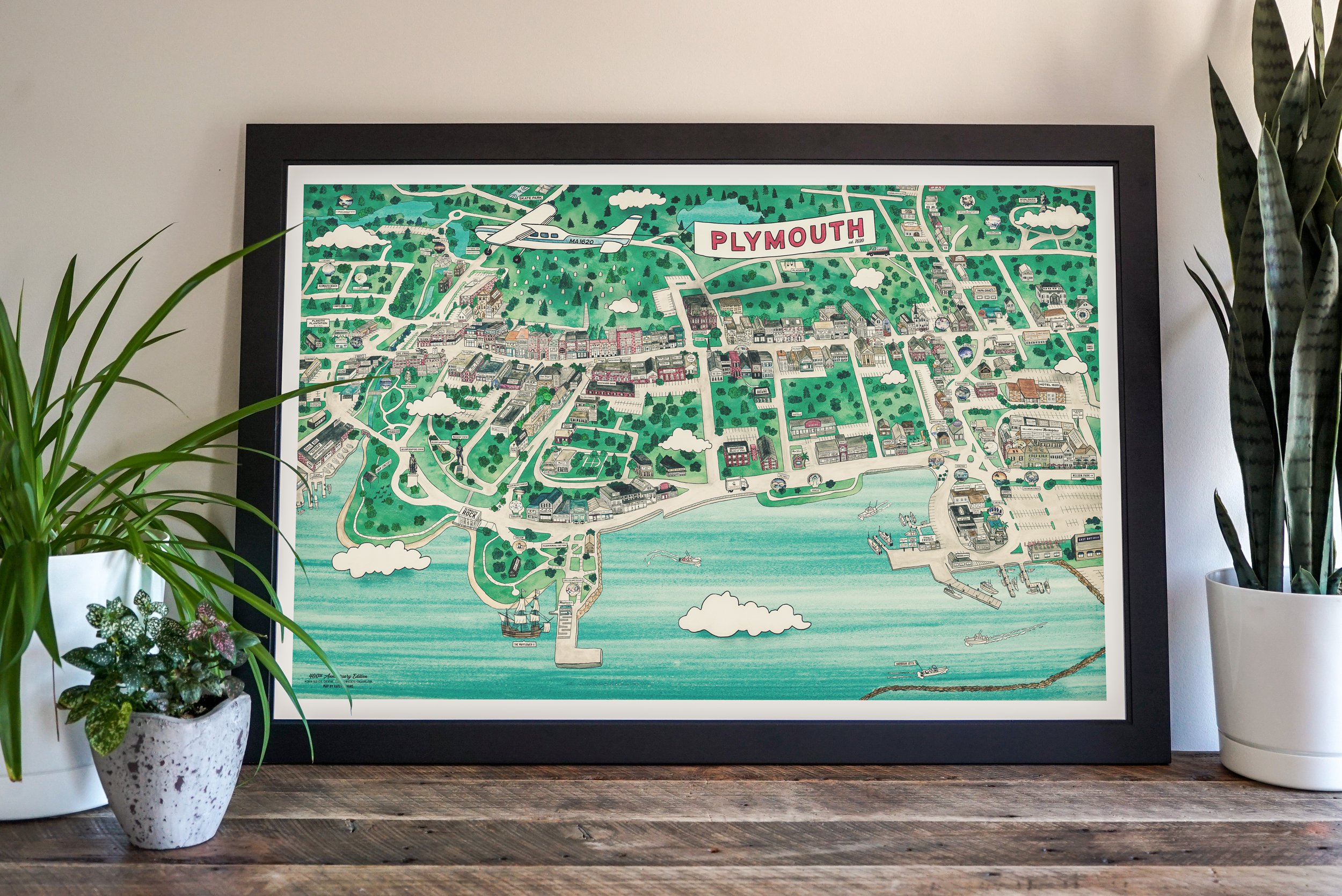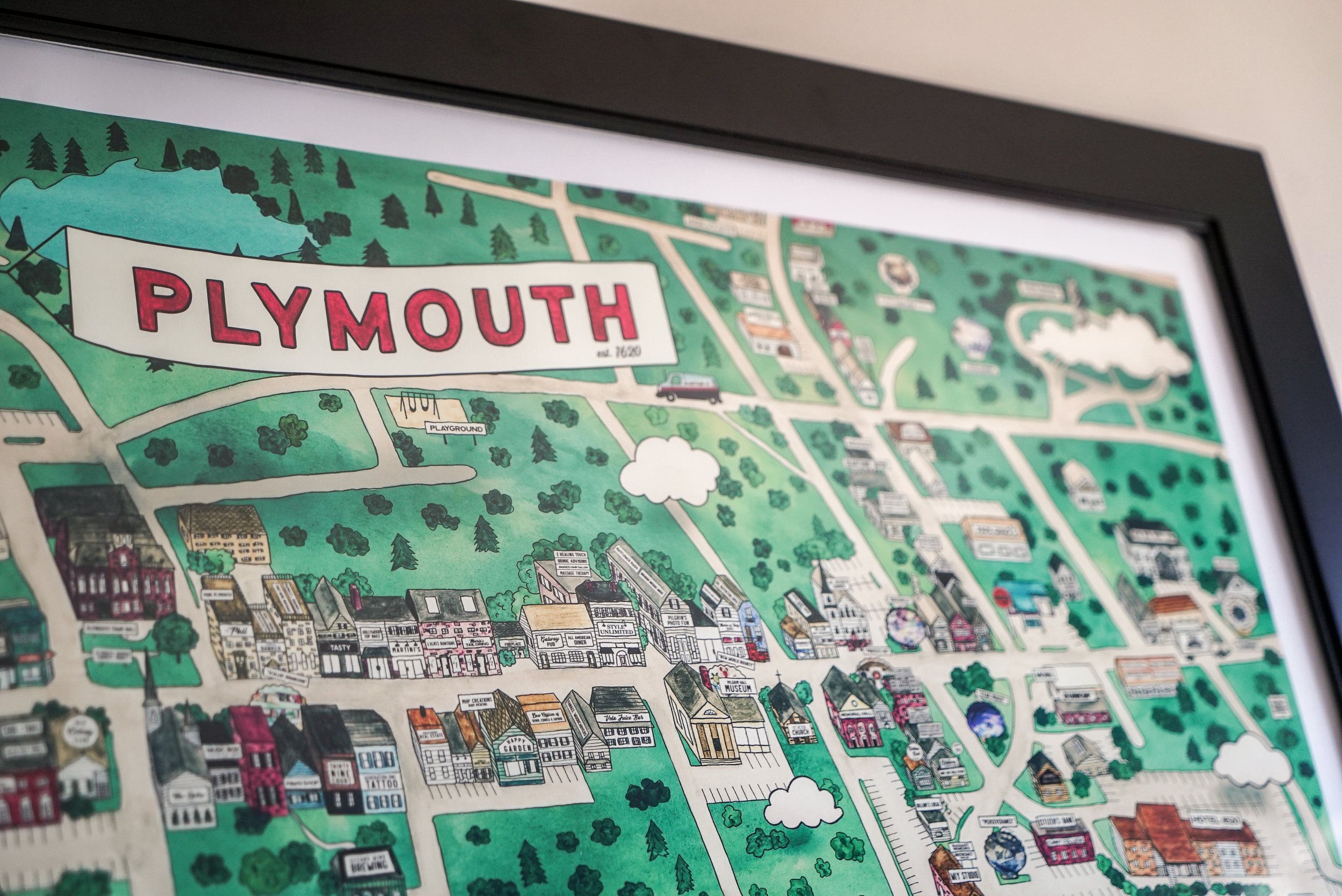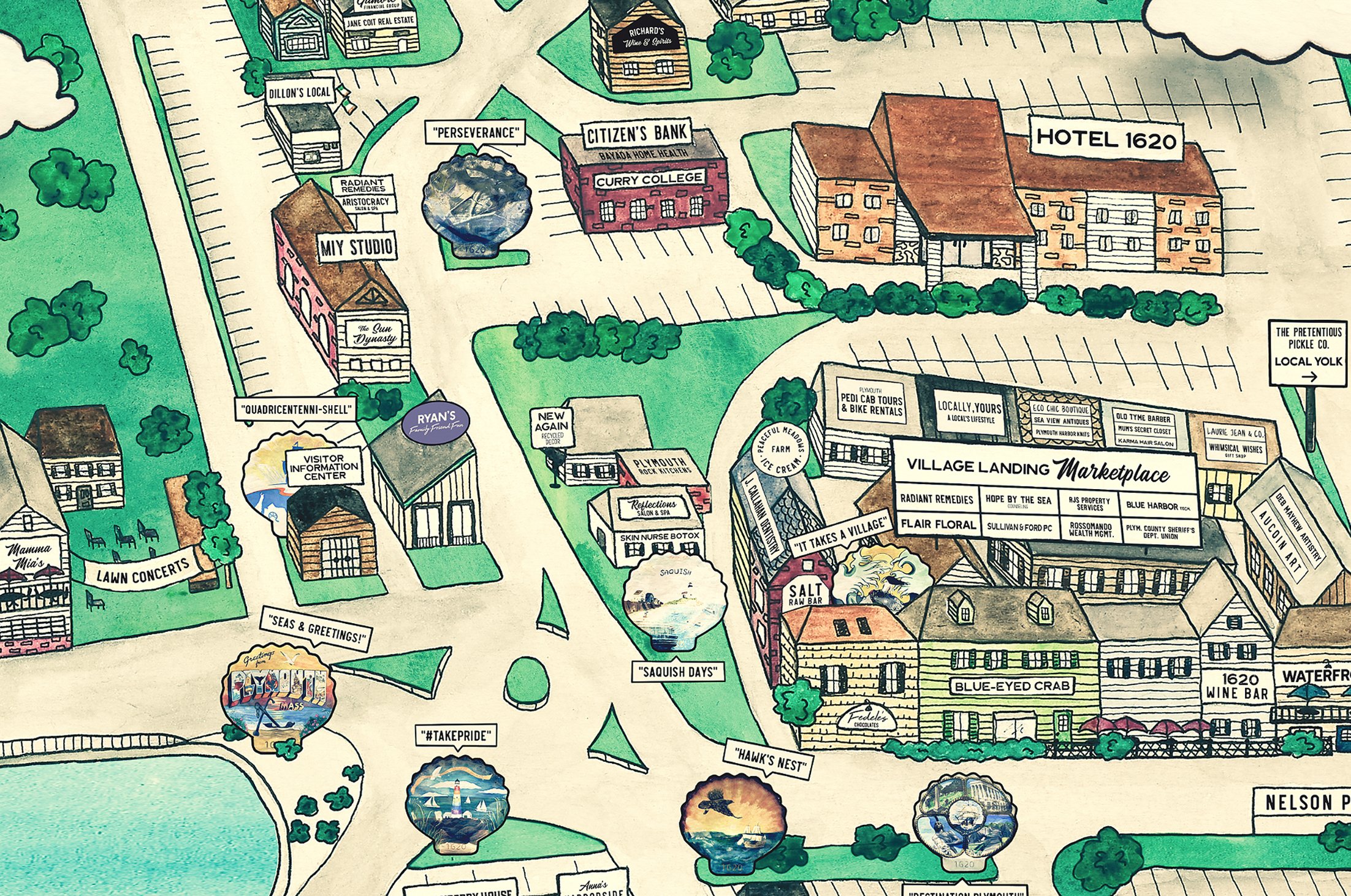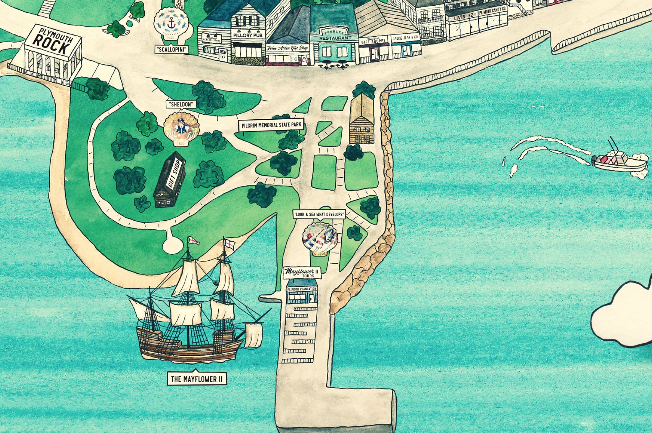
Plymouth Map
Illustration / Watercolor / Digital
My grandmother has had a map of Marshfield, Massachusetts, hand-illustrated by Anne Johnson, hanging in her home since at least the early 90’s. When we were kids, my cousins, siblings and I would race to point out certain elements of her map - a bit of a “Where’s Waldo” game - and as we grew older, the map became a centerpiece for sharing memories of places that had since changed, moved or closed. To this day, we still stand by that map when we visit, just to remind ourselves how much the town has truly evolved over the years.
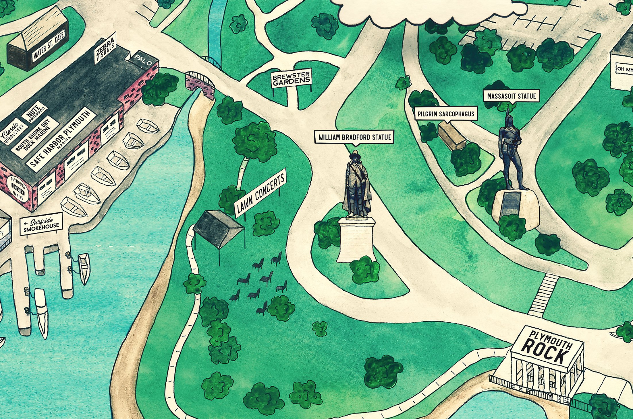
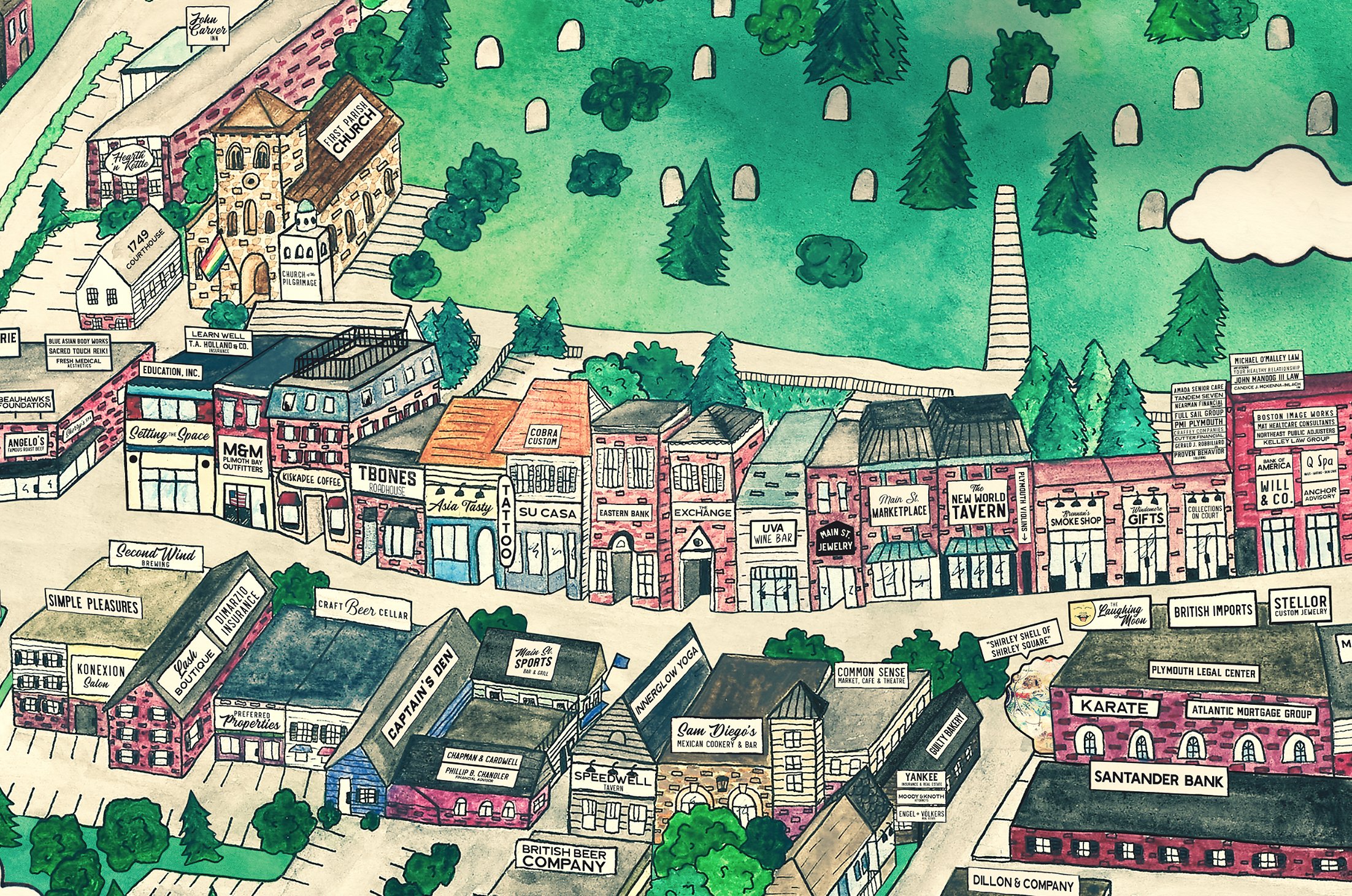
Living in Plymouth as an adult, I’ve experienced the somber goodbye that comes with a favorite bar closing for good, and I’ve felt the nostalgia that seeps through the floorboards of incredible new spaces that were once something entirely different. These experiences are ultimately what inspired me to embark on this (relatively daunting) challenge of capturing the heart of this lively, historical town as an illustration — so we can all, one day, look back with stories to share.
Now— when I kicked off what was intended to be a weekend passion project on February 1, 2020, I never imagined that I’d end up house-bound, and in the thick of a global pandemic for the entirety of my work on this piece. Suddenly, capturing the essence of downtown Plymouth as it was at the start of 2020 meant so much more... and I found myself with nothing but time to work on it.
This map will lose accuracy as time goes on, and that’s part of its purpose. As the town and its downtown businesses evolve over the coming years, I hope this map serves as a historical snapshot, inspiring countless stories of good times had at these wonderful places.
Want a print? Grab yourself one here.
